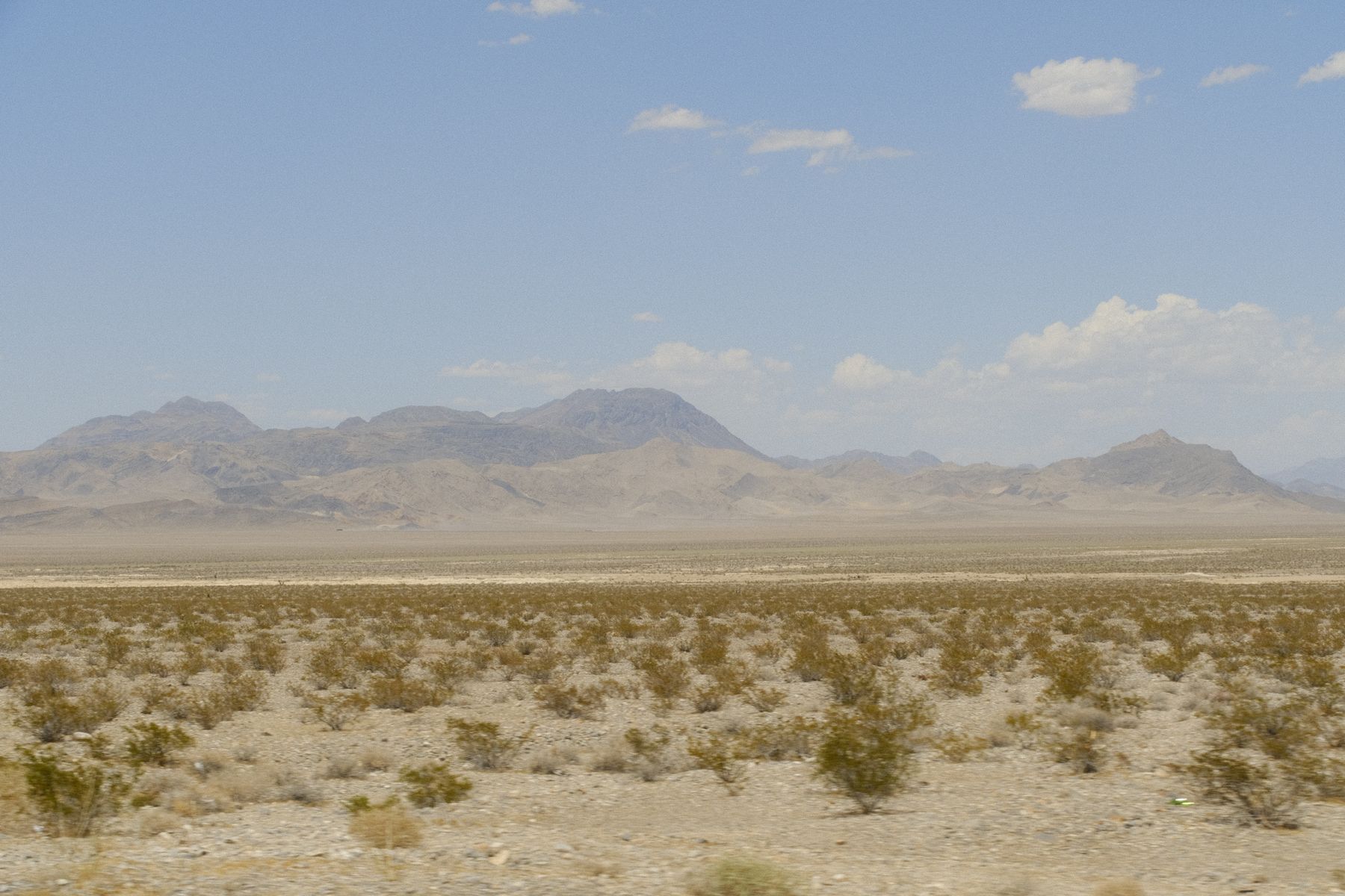
Red Rock Canyon and the Spring Mountains, west of Las Vegas
From the Strip, the Scenic Drive entrance at Red Rock Canyon is roughly 25 to 30 minutes by car via Charleston Boulevard, and the canyon fills early: the one-way loop road typically opens at 8am and the first hour is by far the calmest. The Calico Tanks trail, about 2.5 miles round trip, climbs to a sandstone overlook of the city and stays shaded until mid-morning. Skip the loop drive on winter weekends, when the timed-entry system fills and the lots turn over slowly.
Higher and cooler is the Spring Mountains National Recreation Area, reached by climbing State Route 156 or 157 off US-95 northwest of the city. Lee Canyon and the upper trails sit above 8,000 feet, so summer temperatures run 15 to 20 degrees cooler than the valley floor. The Bristlecone Trail is a gentle, well-marked loop through old-growth pine; it is the one I would book a night in Summerlin for, since the drive is about 45 minutes each way.
Lake Mead and the valley floor, east of Las Vegas
East of the city, the Historic Railroad Trail runs 3.7 miles one way from the Lake Mead Visitor Center toward Hoover Dam, through five wide tunnels cut for the dam's construction trains. It is nearly flat, exposed and best walked from October to April; in July and August the surface radiates heat by mid-morning and there is almost no shade. Boulder City, about 35 minutes from the airport, is the logical base if you want to start at first light without crossing the valley.
Closer in, the wetlands at Clark County Wetlands Park on Wetlands Park Lane, off Tropicana Avenue, offer gravel paths along the Las Vegas Wash with far more birds than walkers. Sunrise and the two hours before sunset are the quiet windows. This is not mountain hiking — expect flat, unshaded paths and a nature centre with restrooms — but for a low-effort leg-stretch before a flight it beats a casino corridor stroll. Bring more water than you think you need.
Reno, the Truckee River and the Sierra foothills
In Reno, the Truckee River Walk through the downtown core is paved and busy near the casinos but thins quickly east toward Idlewild Park, and the riparian path continues west past Mayberry Park. For actual trail, drive 20 to 25 minutes southwest to Galena Creek Regional Park on State Route 431, where the Jones Creek and Whites Creek loops climb through aspen and pine with genuine shade. Late May through October is the window; snow lingers at the higher trailheads into May.
North of the city, the trails around Rancho San Rafael Regional Park and the foothills above Northwest Reno suit early mornings, when the valley is still cool and the Sierra crest catches the light. Tahoe Meadows on Mount Rose Highway, roughly 30 to 35 minutes up, is the easiest high-elevation walk in the region — flat, boardwalked in parts, and busy at midday on summer weekends. Go before 9am or after 4pm, and expect the pass road to close in heavy snow.
Carson City, Virginia City and the drive-time trade-offs
Carson City makes a practical overnight for trail-focused travellers: the Prison Hill and Silver Saddle Ranch paths south of town run along the Carson River with few crowds, and the Eagle Valley trail network links into the foothills within minutes of the motels on Carson Street. From Carson City, Virginia City is about 25 minutes up US-50 and State Route 341, and the old rail grade paths nearby are open, dry and quiet outside event weekends. Spring and autumn are the pick.
The trade-off is distance. From Las Vegas to Carson City is roughly six and a half to seven hours by road via US-95; from Reno it is about 30 to 40 minutes south on US-395. If your trip is built around Las Vegas, do not plan a day trip to the capital's trails — fly or drive between the two ends and book separately. Between Reno and Carson City I would stay in Reno for choice of hotels and drive south, rather than the reverse.
Good to know
Questions, answered
What is the quietest time of day on Red Rock Canyon trails?
Arrive at the Scenic Drive entrance when it opens, usually 8am, and start walking within the first hour. Weekday mornings from October to April are calmest; winter weekends bring timed-entry demand and full lots by mid-morning.
Do I need a reservation for Red Rock Canyon?
In peak season the loop drive can operate a timed-entry system, so check the official recreation site before you go. Trails themselves need no permit. Cell coverage is patchy inside the canyon, so sort logistics before leaving Las Vegas.
How far is the Historic Railroad Trail from the Las Vegas Strip?
Allow about 45 minutes to an hour by car to the Lake Mead Visitor Center, or roughly 35 minutes to Boulder City. It is a 3.7-mile one-way walk through five tunnels toward Hoover Dam, nearly flat and almost entirely unshaded.
When should I avoid hiking near Las Vegas?
Midday from June through September, when valley temperatures regularly exceed 38°C and exposed trails radiate heat. If you travel then, choose the Spring Mountains above 8,000 feet, start at dawn, and carry far more water than feels necessary.
Which Reno trail is best for a short visit?
The Truckee River Walk east toward Idlewild Park needs no car and thins out quickly away from downtown. With a vehicle, Galena Creek Regional Park on State Route 431, about 25 minutes southwest, gives real shade and climbing in a half day.
Is Tahoe Meadows worth the drive from Reno?
Yes for an easy high-elevation walk — about 30 to 35 minutes up Mount Rose Highway, flat and partly boardwalked. It is popular at midday on summer weekends, so go before 9am, and expect the pass road to close in heavy snow.
Should I base myself in Reno or Carson City for trails?
Reno for hotel choice and airport access, with Carson City trails 30 to 40 minutes south on US-395. Carson City suits an early start on Prison Hill or Silver Saddle Ranch without traffic. Both work; Reno is the easier booking.
Doing good is the business: every booking through Stay Nevada funds one verified tonne of carbon removal — same room, same price, no markup.
Search stays