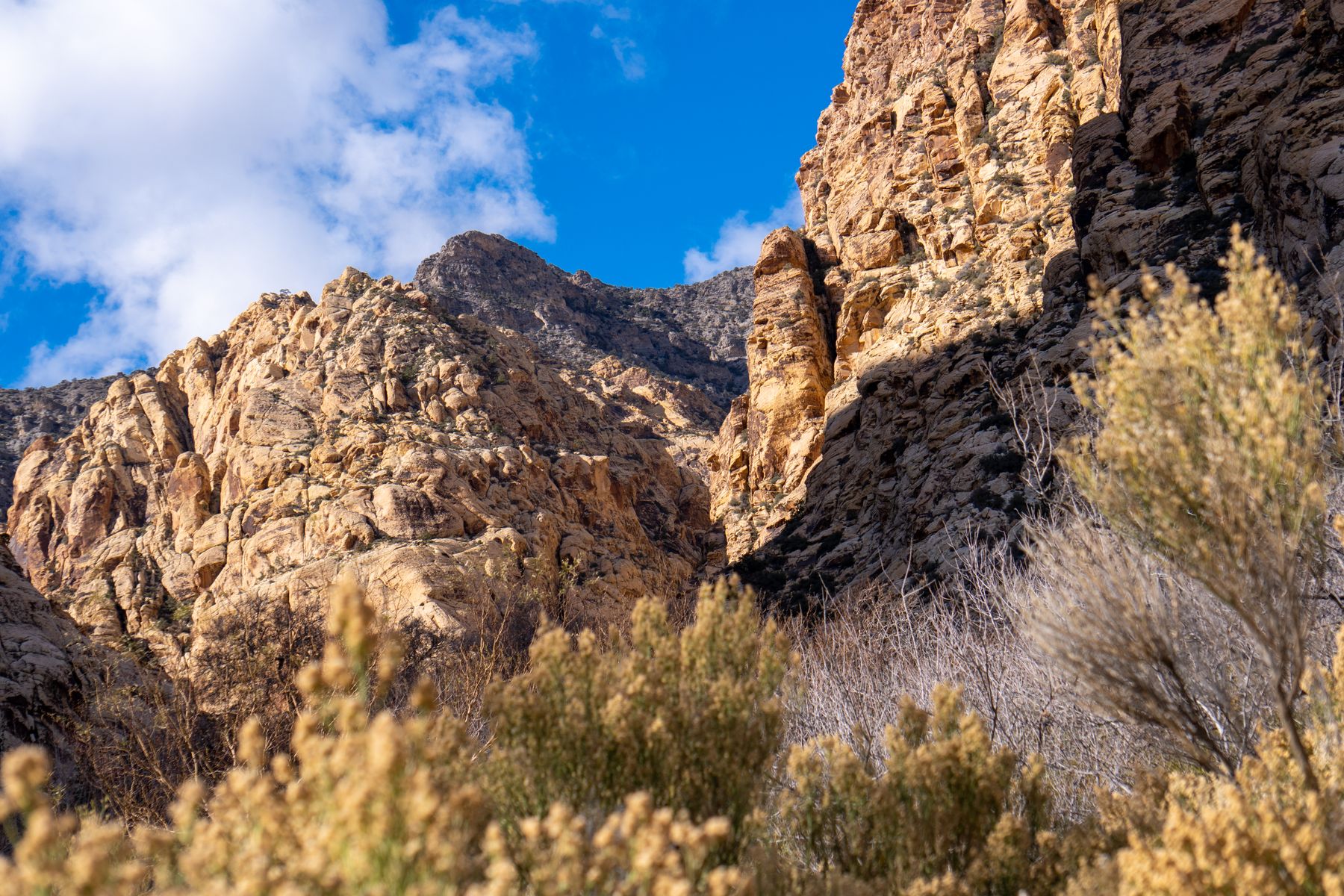
Valley of Fire: the densest concentration, 50 minutes from Las Vegas
Valley of Fire State Park, reached via Interstate 15 northeast of Las Vegas and then the signed park road off Exit 75, protects more than 2,000 documented petroglyph panels across roughly 46,000 acres. The finest easy-access panels are at Atlatl Rock, where a staircase climbs to a wall of bighorn sheep, human figures and atlatl hunting scenes; Mouse's Tank, a sandy wash a short walk from the parking area; and the Fire Wave trailhead area, where the rock is striped red and cream. Summer daytime highs routinely pass 40°C, so plan October through April, start early, and carry more water than feels necessary.
Entrance is per vehicle, and the campground inside the park books out weeks ahead in spring. Most travellers base themselves in Las Vegas and drive out for a half day, which is why the hotel corridors around Summerlin and the Strip carry the heaviest demand. If you want the park gates at opening without a 6am departure, staying in North Las Vegas or near Downtown Summerlin shaves 15 to 20 minutes off the drive. I would book Summerlin over the Strip for this trip: quieter evenings, easy freeway access, and parking that does not cost a fortune.
Grapevine Canyon and the Mojave south of Searchlight
Grapevine Canyon, at the western edge of Lake Mead National Recreation Area near Laughlin, holds one of the largest petroglyph concentrations in southern Nevada, with hundreds of abstract and animal figures pecked into dark boulders along a spring-fed wash. The turnoff is from State Route 163, about 8 miles northwest of Laughlin, then a graded dirt road of roughly 2 miles that is fine for a standard car in dry weather. The walk from the trailhead to the main panels is short but involves stepping over rocks and a little easy scrambling. Late autumn through early spring is the season; Laughlin in July is punishing.
Laughlin's hotel base makes this a comfortable overnight, and the drive from Las Vegas runs about 90 minutes via US-93 and State Route 163. The panels at Grapevine are unfenced, and the desert varnish they are cut into is fragile, so stay on established paths and never touch or chalk a figure. Combined with a stop at the Old Mormon Fort or the Nevada State Museum in Las Vegas, this makes a strong two-day southern loop. Laughlin is also the cheapest of the southern bases outside holiday weekends, with plenty of river-view rooms.
Northern Nevada: Winnemucca, Lovelock and the Reno hinterland
Northern Nevada's rock art tends to be less crowded and less signposted. The Winnemucca area, off Interstate 80 in Humboldt County, has petroglyph panels in the Sonoma Range and along the Bloody Run Hills north of town, best seen on guided or well-researched outings; the Humboldt Museum in Winnemucca is the place to ask for current access advice, road conditions and any closures. Winnemucca also makes a sensible overnight between Salt Lake City and Reno, and the drive east to Elko runs about two hours.
Further south, the Grimes Point Archaeological Area near Fallon, about an hour east of Reno on US-50, is the most accessible northern site: a short, flat interpretive trail with numbered panels and a brochure at the trailhead. Grimes Point is free and open year-round in daylight, and takes under an hour. Base in Reno or Sparks for Fallon and Grimes Point, and consider a night in Fallon itself if you want an early start. Spring and autumn are the best months; midsummer afternoons on the US-50 are genuinely hot.
Practicalities: land status, etiquette, and what to skip
Most Nevada rock art sits on federal land managed by the Bureau of Land Management, the National Park Service or the state park system, and rules differ: some sites allow photography, others ask you not to publish precise locations. Never touch, wet, chalk or trace a figure, and do not build cairns or move rocks. Carry out everything. Cell coverage is patchy at Grapevine Canyon and on the Fallon backroads, so download offline maps before leaving town and tell someone your route. Fuel up before leaving the last town; distances between services are long.
What I would skip: any guided tour that promises a dozen sites in one day, because you will spend the day in a vehicle; and the temptation to combine Valley of Fire with a late-afternoon Grand Canyon helicopter trip, which is a false economy. Two well-seen panels beat eight rushed ones. Book accommodation early for spring weekends in Las Vegas and Reno, when conventions and events push rates up, and for Laughlin on holiday weekends. The Nevada State Museum in Las Vegas and the Churchill County Museum in Fallon are good rainy-day backups with rock art context.
Where to stay
Hotels in Nevada
Good to know
Questions, answered
Do I need a permit to visit petroglyph sites in Nevada?
Not for the main public sites. Valley of Fire, Grimes Point and Grapevine Canyon are open to visitors within normal park hours and standard park or recreation fees. Remote panels on Bureau of Land Management land may require checking in with the local field office first, especially where access roads cross private land.
What is the best month to see rock art in Nevada?
October, November, March and April. Daytime temperatures are moderate, roads are dry, and the light on the panels at Valley of Fire and Grapevine Canyon is lower and more readable. Avoid July and August for desert hikes; northern sites near Fallon and Winnemucca are workable in summer if you go early.
How far is Valley of Fire from the Las Vegas Strip?
About 50 miles and 50 to 60 minutes via Interstate 15 north to Exit 75, then the park road. From Downtown Summerlin or North Las Vegas, allow 40 to 45 minutes. The campground inside the park and the visitor centre are both on the main park road.
Can I visit Grapevine Canyon in a normal rental car?
In dry weather, yes. The graded dirt approach road from State Route 163 is roughly 2 miles and passable for a standard sedan. After rain the road can be rutted or washed out, so check conditions with the Lake Mead National Recreation Area visitor services before setting out.
Is Grimes Point near Fallon suitable for children?
Yes. The interpretive trail is short, flat and under a mile, with numbered panels and a self-guiding brochure. It suits families and older visitors well. Bring hats, water and sun protection, as there is little shade, and keep children on the trail rather than climbing the boulders.
Where should I stay for a northern Nevada rock art trip?
Reno or Sparks for Grimes Point and Fallon, and Winnemucca for the Humboldt County sites. Reno has the widest range of hotels and is about an hour from Grimes Point. Fallon has limited but adequate motels if you want an early start on US-50.
Is it acceptable to take photographs of petroglyphs?
Generally yes at public sites, without flash and without touching the rock. Some land managers ask visitors not to publish precise GPS locations to limit damage. Follow any posted rules, and never use chalk, water or filters to enhance a figure.
What should I do if I find an unrecorded petroglyph panel?
Leave it undisturbed, take photographs from a distance, note the approximate location, and report it to the local Bureau of Land Management field office or state historic preservation office. Do not share exact coordinates publicly, and do not pick up or move artefacts.
Doing good is the business: every booking through Stay Nevada funds one verified tonne of carbon removal — same room, same price, no markup.
Search stays